Hiking suggestions
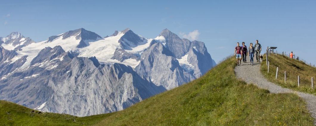
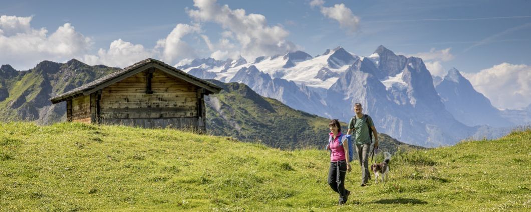
The Haslital, with its sunny plateau on the Hasliberg, offers you a large range of hiking trails to suit all levels – all with wonderful views of the Engelhorn, Wetterhorn, Eiger and Mönch mountains. Families can find about the dwarf „Muggestutz“ and his family and friends while hiking along the two dwarf trails.
Sonnenweg
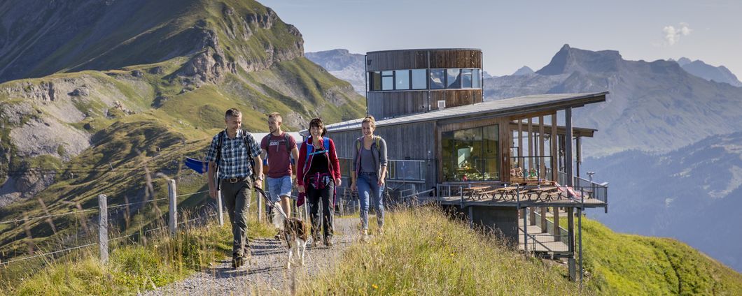
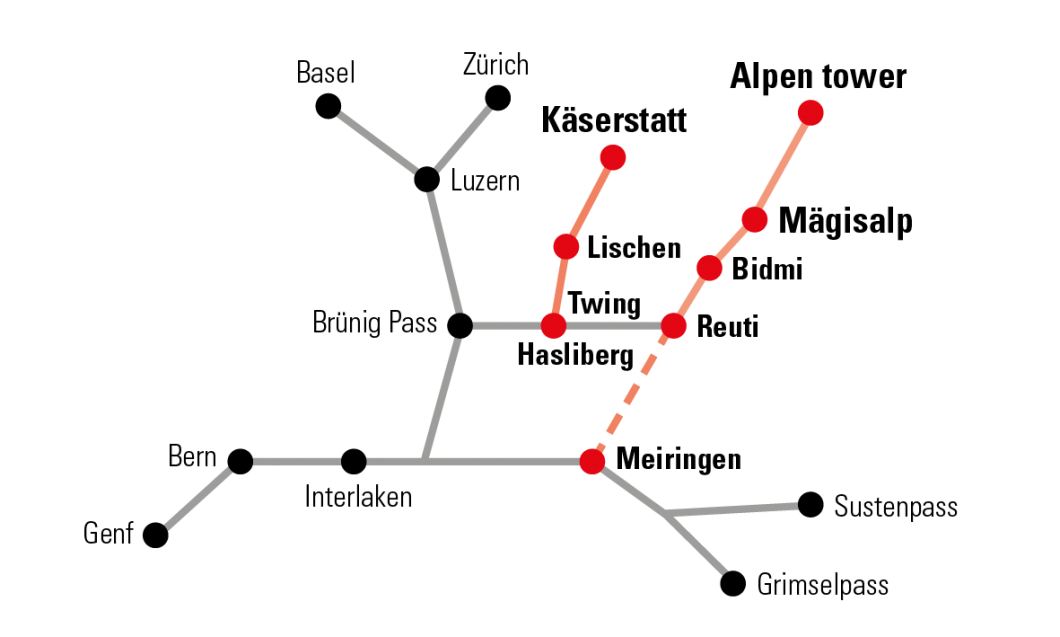
Just right for sporty families and nature lovers. The newly constructed trail starts at Alpen Tower and goes via Hääggen to Käserstatt. The trail is mostly a gentle downhill or flat path.
start: station Alpen tower, 2'250 a.s.l.
end: station Käserstatt, 1'840 a.s.l.
ascent: 120 altitude
descent: 580 altitude
track: 5,8km
time: 2 hours
start: station Alpen tower, 2'250 a.s.l.
end: station Käserstatt, 1'840 a.s.l.
ascent: 120 altitude
descent: 580 altitude
track: 5,8km
time: 2 hours
Gibelweg
An enjoyable hike takes you from Käserstatt to the top of the Gibel where you will have a wonderful panoramic view over the lakes of Brienz and Lungern. The trail takes you back to the mid station at Lischen via Balisalp.
start: station Käserstatt, 1'840 a.s.l.
end: station Käserstatt, 1'840 a.s.l.
ascent: 450 altitude
descent: 450 altitude
track: 6,7km
time: 2 hours 50 minutes
start: station Käserstatt, 1'840 a.s.l.
end: station Käserstatt, 1'840 a.s.l.
ascent: 450 altitude
descent: 450 altitude
track: 6,7km
time: 2 hours 50 minutes
Hochstollen
From Käserstatt, the route more or less follows the winter chairlift to the Hochsträss mountain station. The path is now less steep uphill through meadows full of blossoming alpine flowers and in a left turn to the ridge of the Fulenberg. On partly high steps some rocky heads are hiked around. Here there is a short stretch of path where the path goes down on both sides. A last ascent and the high tunnel with its cross are reached.
Translated with www.DeepL.com/Translator (free version)
start: station Käserstatt, 1'840 a.s.l.
end: station Käserstatt, 1'840 a.s.l.
ascent: 700 altitude
descent: 700 altitude
track: 7,3 km
time: 4 hours
Translated with www.DeepL.com/Translator (free version)
start: station Käserstatt, 1'840 a.s.l.
end: station Käserstatt, 1'840 a.s.l.
ascent: 700 altitude
descent: 700 altitude
track: 7,3 km
time: 4 hours
Wasser-Weg
Easy hike along alp roads and trails. The route leads down gently the whole way and is great to do in sunshine and in rain. You will pass the little lakes at Bidmi and Badesee and cross a number of little creeks.
start: station Bidmi, 1'423 a.s.l.
end: Hasliberg Hohfluh, 1'043 a.s.l.
ascent: 20 altitude
descent: 390 altitude
track: 4 km
time: 1 hour 10 minutes
start: station Bidmi, 1'423 a.s.l.
end: Hasliberg Hohfluh, 1'043 a.s.l.
ascent: 20 altitude
descent: 390 altitude
track: 4 km
time: 1 hour 10 minutes
Drei-Gipfel-Tour
From peak to peak – this challenging alpine route with wonderful 360° panoramic views starts at Planplatten. The trail is quite exposed along the ridges and is only suitable for sure-footed hikers with a good head for heights. You will climb the Läuber, Rothorn und Glogghüs peaks then head down Hochsträss to Käserstatt. For those who are fit enough, a short climb up to Hochstollen is highly recommended.
start: station Alpen tower, 2'250 a.s.l.
end: station Käserstatt, 1'840 a.s.l.
ascent: 1'030 altitude
descent: 1'430 altitude
track: 12 km
time: 5 hours 30 minutes
start: station Alpen tower, 2'250 a.s.l.
end: station Käserstatt, 1'840 a.s.l.
ascent: 1'030 altitude
descent: 1'430 altitude
track: 12 km
time: 5 hours 30 minutes
The Rosenlaui Mountaineering School offers guided tours for the Three Peaks Tour on the following dates:
- Saturday, July 21
- Sunday, August 4
- Sunday, September 15
- Sunday, October 13
- Saturday, July 21
- Sunday, August 4
- Sunday, September 15
- Sunday, October 13
Information:
Bergbahnen Meiringen-Hasliberg AG
Twing 365L
CH-6084 Hasliberg Wasserwendi
Phone: +41 33 550 50 50
Twing 365L
CH-6084 Hasliberg Wasserwendi
Phone: +41 33 550 50 50


